


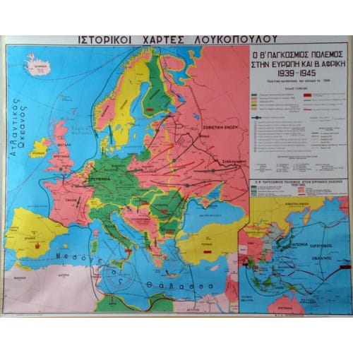
Map World War II 1939 - 1945 AD
€45,00 incl. VAT
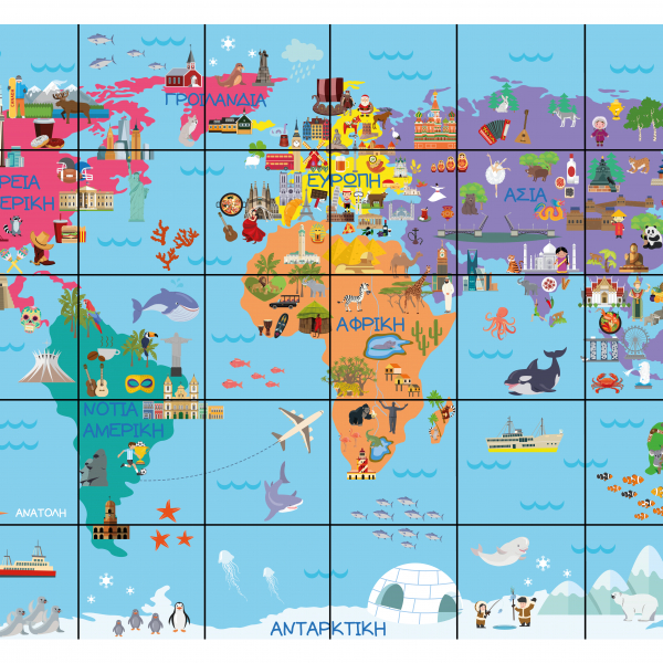
BeeBot - World Map
€32,00 incl. VAT
Map of the First World War 1914 – 1918 AD
€45,00 incl. VAT
Description
Map of the First World War 1914 – 1918 AD
Map of the First World War 1914 – 1918 AD
- Alliances
- Entente: France, England, Russia, Belgium, Belgium, Romania, Serbia, Italy, Greece, Japan, China
- Central Powers: Germany, Austria-Hungary, Bulgaria, Turkey, Germany, Austria-Hungary, Bulgaria, Turkey
- Western Front: Belgium, France, Germany, Belgium, France, Germany, Austria, Belgium, France, Germany.
- Western Front: Greece, Serbia, Bulgaria
- Operations in the Dardanelles
The map, which is made of high-quality thick paper that protects the colours and excludes gloss, is lined on the back with durable cotton fabric, while the top and bottom of the map are lined with durable pvc bars in the colour of the wood, specially nailed with a special machine.
Dimensions: 100 x 130cm


 Labdisc
 Botzees
 Edison
 Telepresence Robot
 DOBOT
DOBOT