


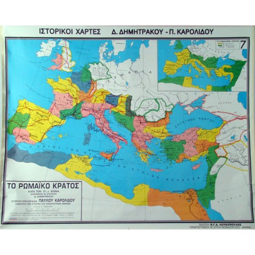
Map The Roman State at its peak by Provinces
€45,00 incl. VAT
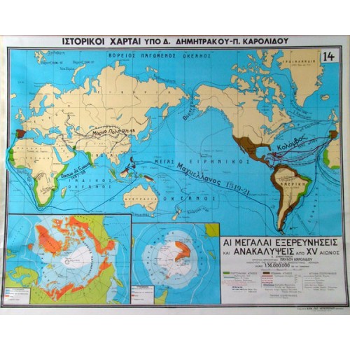
Map Explorations and Revelations from the 15th century AD
€45,00 incl. VAT
Map Crusades from 1096 – 1192 AD
€45,00 incl. VAT
Description
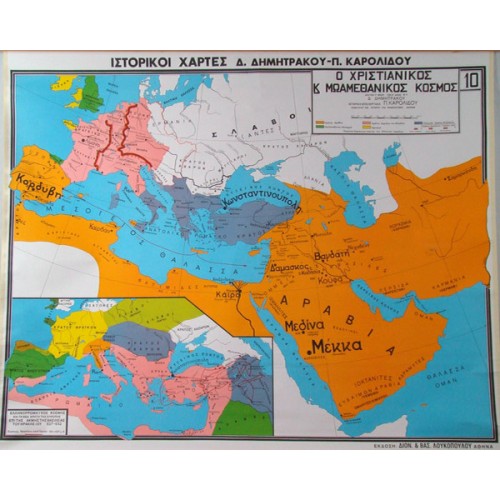
Map Crusades from 1096 – 1192 AD
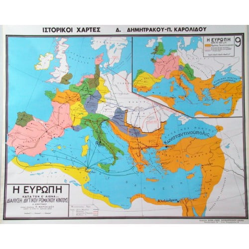
Map Crusades from 1096 – 1192 AD (Europe under Kingdom II)
- 1st map Europe under Kingdom II (976 – 1025 AD)
- 2nd map Crusades (1st, 2nd, 3rd)
- 3rd map Syria after the 1st Crusade
The map, which is made of high quality thick paper that protects the colours and excludes gloss, is lined on the back with durable cotton fabric, while the top and bottom of the map are lined with durable pvc bars in the colour of the wood, specially nailed with a special machine.
Dimensions: 100 x 130cm


 Labdisc
 Botzees
 Edison
 Telepresence Robot
 DOBOT
DOBOT