“Map Europe after the settlement of the Turkish 1453 – 1566 AD” has been added to your cart. View cart
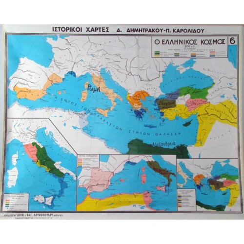
Map The Greek World in 200 BC
€45,00 incl. VAT
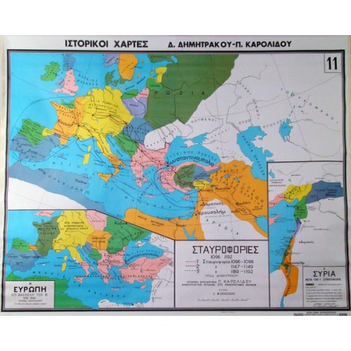
Map Crusades from 1096 - 1192 AD
€45,00 incl. VAT
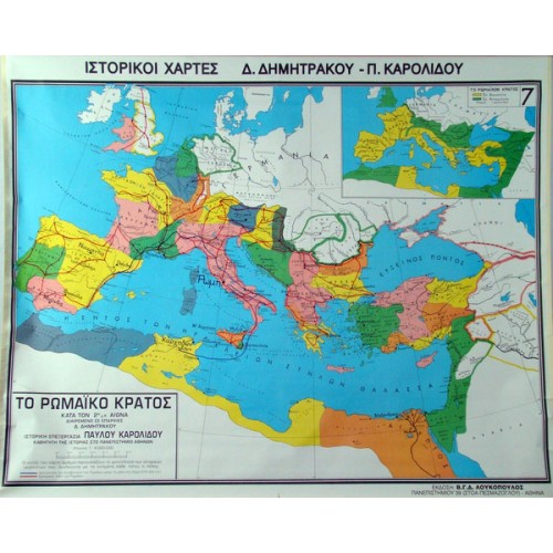
Map The Roman State at its peak by Provinces
€45,00 incl. VAT
SKU:
803008
Categories: Geography (Earth Sciences), School Maps
Description
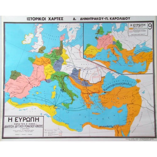
Map The Roman State at its peak by Provinces
Map The Roman State at its peak by Provinces
- Cities on the Italian peninsula
The map, which is made of high quality thick paper that protects the colours and excludes gloss, is lined on the back with durable cotton fabric, while the top and bottom of the map are lined with durable pvc bars in the colour of the wood, specially nailed with a special machine.
Dimensions: 100 x 130cm
Related products
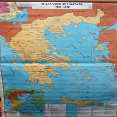
Map of the Greek Revolution 1821 – 1827 AD
€45,00 incl. VAT
803030
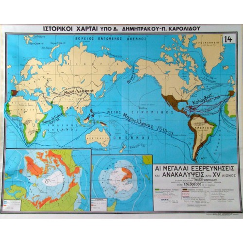
Map Explorations and Revelations from the 15th century AD
€45,00 incl. VAT
803015
Map Europe after the settlement of the Turkish 1453 – 1566 AD
€45,00 incl. VAT
803004





 Labdisc
 Botzees
 Edison
 Telepresence Robot
 DOBOT
DOBOT Keyestudio
 Fischertechnik